News & Events
Classes & Events
Latest Past Events

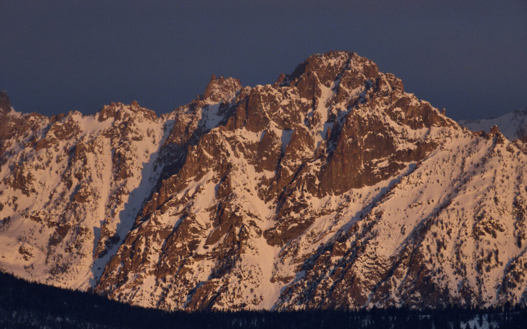
The Forecast: Your Tool for Planning a Ride
Karl Malone Powersports, Hailey 4040 Glenbrook Drive, HaileyJoin the Friends and the Sawtooth Snowmobile Club for a presentation on how to use the Sawtooth Avalanche Center website and forecast to plan a ride. Thanks to Karl Malone […]

Introduction to Avalanches Presentation- Boise
White Dog Brewing 705 W Fulton St, BoiseJoin the Friends of the Sawtooth Avalanche Center for a 2-hour presentation based on the Know Before You Go platform, introducing basic concepts about snow, avalanches, and traveling safely in […]

Introduction to Avalanches Presentation- Twin Falls
College of Southern Idaho 315 Falls Ave, Twin FallsJoin the Friends of the Sawtooth Avalanche Center for a 2-hour presentation based on the Know Before You Go platform, introducing basic concepts about snow, avalanches, and traveling safely in […]
Latest News
The New Faces at Sawtooth Avalanche
As you may have heard there are some new faces at the Sawtooth Avalanche Center this winter. We added two new forecasters to the team as well as the Friends got a new executive director. Welcome them to the team as we are...
FAQ and What are the Friends?
We get a lot of questions about what we do here so we figured we would compile them all in one place. If you have a question that you do not see below please Contact Us! Q: What is the Friends of the Sawtooth...
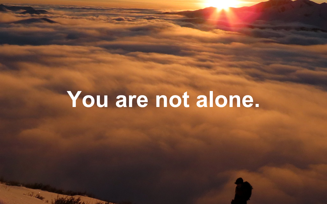
Support for Grief, Trauma, and Loss in the Mountains
When accidents happen, they affect everyone in our small mountain communities. Whether you're directly affected by an incident or caring for others, you deserve support. This guide outlines several free and cost-reduced...